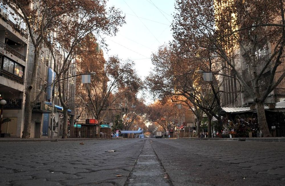
Mendoza forecast: rising temperatures due to the Zonda, but a sharp drop due to the cold front.

The arrival of the Zonda wind and a cold front will have repercussions in the following days, with Wednesday seeing a high near 11°C. According to the Civil Defense report.
After a pleasant Sunday, high temperatures are expected to be above 20°C in the coming days. However, temperatures will drop significantly midweek.
For Monday , the average temperature in the plains is expected to be a high of 20-21°C , while the low is expected to be 4-5°C . In the high mountains, it will be partly cloudy all day, with no precipitation.
- Wind : North to south winds from 11 a.m. extending through 3 a.m. Tuesday in the north, east, south, and Greater Mendoza. Zonda winds from 12 p.m. in the southern mountain range and south of Malargüe, including overnight.
- Cloudiness : Partly cloudy in the south. From midday, a thin layer of cloudiness will cover the entire province.
Mendoza in a final climate

On Tuesday , the Zonda wind will arrive early in the southern mountain range , extending into the Uco Valley and Malargüe. Civil Defense estimates average speeds of 40 km/h in Malargüe around 3 p.m.
The cold front will move in at 2:00 PM in the south and 4:00 PM in the north. In the high mountains, there will be bad weather and significant snowfall, especially in the south. The high for that date is expected to be around 22°C , according to the National Meteorological Service (SMN).
Thus, a marked drop in temperature is expected for Wednesday, with average highs of 11-12°C. According to the Civil Defense, the day is expected to be cloudy, with a chance of precipitation, especially in the southern region and the Uco Valley. Cloud cover is expected to improve slightly in the afternoon.
losandes


