
Flash floods in North Carolina as extreme heat, critical fire danger continues West

The summer of deadly flash flooding continues, with two people killed by flash flooding on Wednesday near Spring Hope, North Carolina, when their car was swept away by fast-moving flood waters.
The area was under a “considerable” flash flood warning Wednesday evening and 4 to 6 inches of rain fell in the afternoon and into the evening commute.
On Thursday, a risk for excessive rainfall is in place from the Florida Panhandle up to Southeast Virginia, though the threat will not be as high as it was on Wednesday with 1 to 2 inch totals and possible isolated higher amounts expected with these storms.
The wet pattern continues to create cooler than normal conditions for the region bring record-breaking cool conditions in some places, like Richmond, Virginia, which broke its daily record for the coolest high temperature yesterday by only reaching 70 degrees.
More record cold highs are possible on Thursday morning in Greensboro and Elizabeth City, North Carolina, as well as Roanoke, Virginia.
Meanwhile, fire weather alerts are in places across seven states in the West – Nevada, Utah, Colorado, Idaho, Wyoming, Nebraska and South Dakota -- for critical fire weather conditions conducive for rapid fire spread with any new or existing wildfires in these regions.
Fire weather conditions are expected to remain critical through at least Saturday but could persist into the beginning of next week.
Extreme heat warnings remain in effect for parts of the Southwest, including Palm Springs, Phoenix and Tucson, as heat advisories are also in effect on Thursday for other areas of the Four Corners region stretching into the Plains as the heat begins to shift east in places like Albuquerque, El Paso, Amarillo, Dallas, OKC, Wichita, North Place, Denver and Sioux City.
High temperatures between 108 and 118 are possible for these areas through Friday as record high temperatures are possible for cities like Palm Springs, Phoenix Tucson today and Albuquerque through Friday.
The heat is expected to be less extreme for the Southwest heading into the weekend and, into next week, widespread heat will return to the Northeast and much of the country.Severe storms capable of producing a few tornadoes, large hail and significant wind gusts will be possible Thursday and Friday for parts of the Upper Midwest.
But for Thursday, the highest threat is centered over North Dakota, including Fargo and Bismarck, as severe storms will also be possible for other like Grand Forks, Billings and Aberdeen.
On Friday, parts of North Dakota -- including Fargo -- are under the highest threat again as a few tornadoes, very large hail, and significant wind gusts will once again be possible for this area.
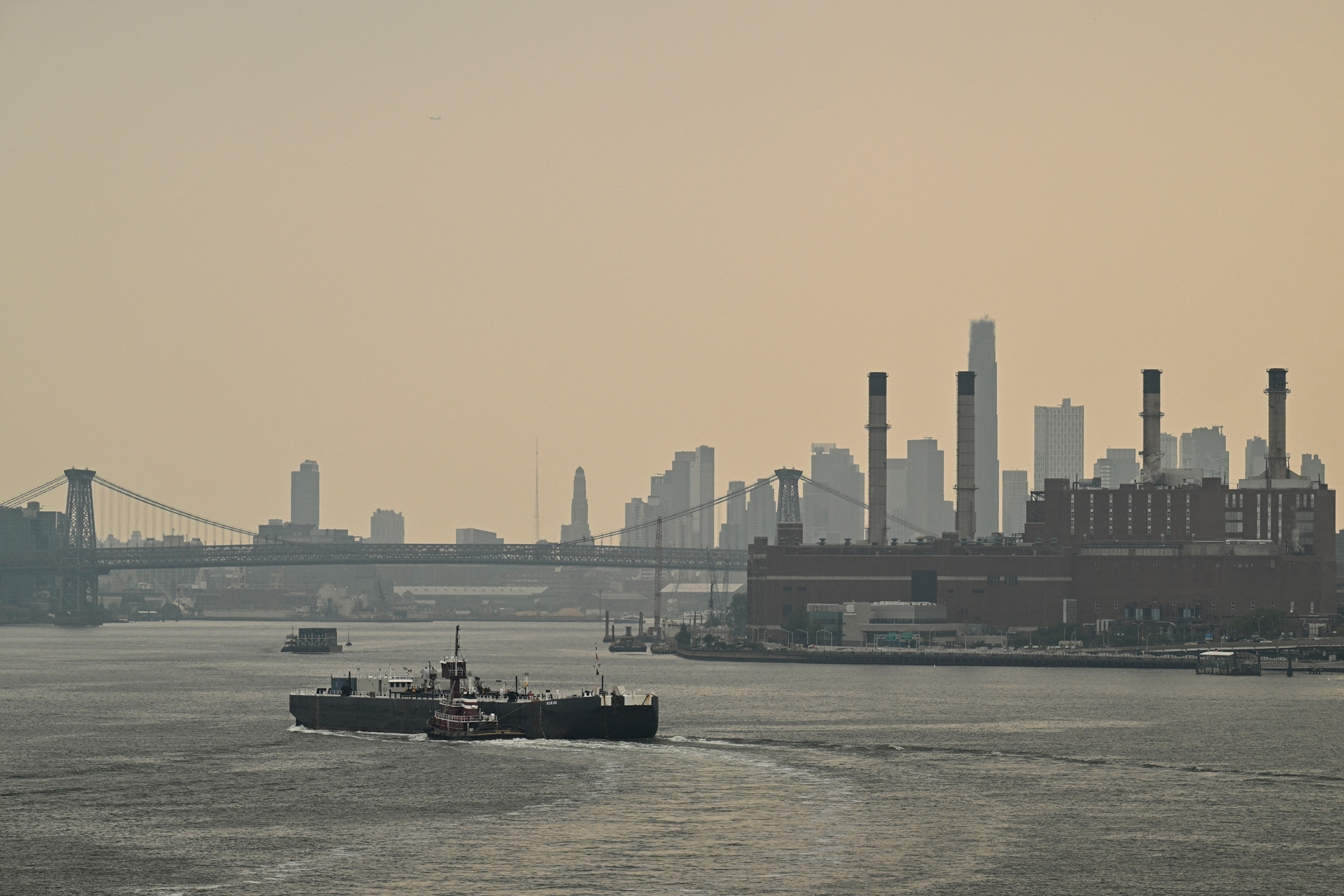
Elsewhere, widespread air quality alerts have been cancelled for many areas across the Midwest and Northeast as this round of smoke from the Canadian wildfires begins to thin out, though Chicago still remains under an air quality alert for Thursday due to pollution and wildfire smoke.
Some hazy skies may be visible across the Midwest and Northeast, though it does not necessarily mean unhealthy air quality.
Meanwhile, the tropics are becoming more active as we approach the peak of the Atlantic hurricane season as Tropical Storm Dexter continues to trek northeast in the North Atlantic, though it does not pose any threats to land in the U.S.
An area of showers and thunderstorms off the coast of the Southeast may develop into a low-pressure system in the next 24 hours, though the window of potential development is beginning to wane.
Conditions over the warm waters may allow the formation of a tropical depression this weekend and the system is expected to move north and then northeast out to sea.
Showers are expected throughout the Southeast through the weekend, however, as this system tries to organize and then pushes out to sea.
ABC News


